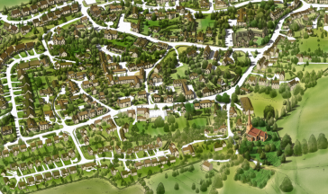
The Village Map
A Village Map was produced for the judging of Mickleton’s entry into the Calor Village of the Year England in 2007/8 when the village represented Gloucestershire in the competition.

Design stage
Part of the Archive Project was to produce a new map annotated with illustrations and brief information about the buildings and places of interest in the village.
The Map was completed on 13th February 2016 when the Mural was displayed in the old Bus Shelter.


Comments about this page
I did the illustration for interest sake.
Good luck!
Christo
Thank you, the correction has been made.
We hope that you enjoyed your visit to the site.
Minor point – design misspelled.
Add a comment about this page